You already have all the data but need a map? We are happy to provide you with a product that complies with your high expectations as well as our experience.
Mapping and data aquisition
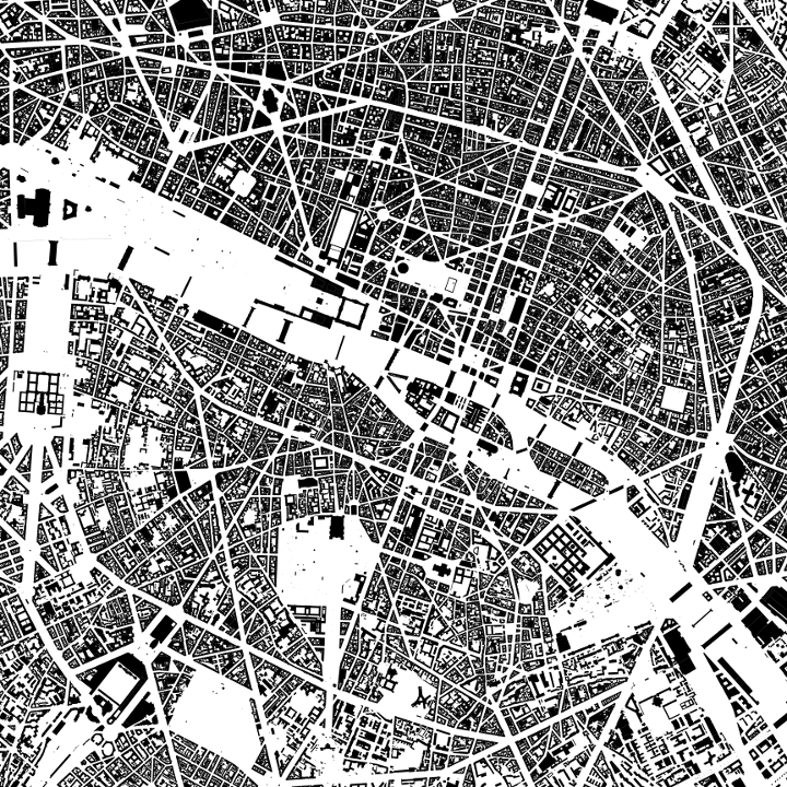
Map creation
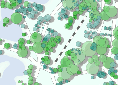
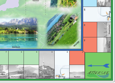
Design of cartographic products
Multifactorial analyses
Regional and over-regional evaluations
Providing OpenStreetMap tiles
Technology
You have a standardized task? It will be solved quickly. You need to cope with a special problem? We will provide the individual solution using both: proven software components and innovative approaches.
Filtering and adaption of OpenStreetMap data
Geoanalysis
Conversions
Georeferencing
Configuration of SpatialData Infrastructures
Development of specific algorithms
Know How
You are eager to catch up with current developments? You need people to be informed? We offer our experience in teaching and giving talks about basic and advanced topics.
Extensive knowledge about OpenSource GIS
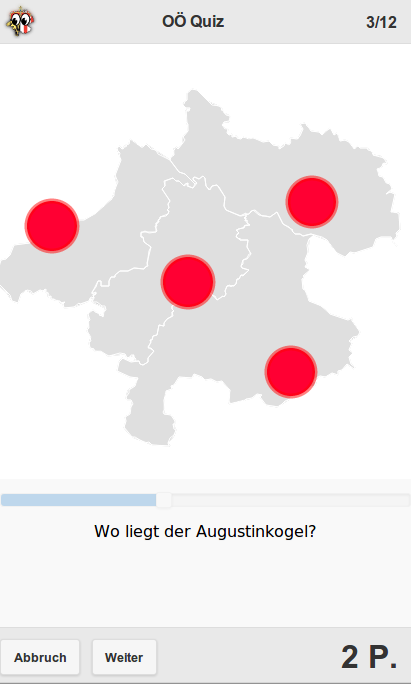
The power of QGIS
NoSQL data storage
Geoinformation basics and advances
Topological and SimpleFeature formats
Data management
Portfolio
A subset of our work
Schwarzplan
Book
Map of Türkenschanzpark
Map Design
CouchWFS
GIS Development
OÖ Quiz
App Development
Urban morphology Linz
Analysis, Cartographic Product
Monopoly Attersee
Cartographic Product
Contact Us
Let us provide the solution for your problem.info@gisforge.com
Schwarzpläne üben als Instrument der Stadtplanung eine enorme Faszination aus. Obwohl sie graphisch auf Flächensignaturen und die unbunten Farben schwarz und weiß reduziert sind, geben sie wie keine andere Darstellung Grundprinzipien einer Bebauungsstruktur wieder.
Schwarzpläne erlauben aufgrund der Beharrlichkeit von Bebauungsstrukturen Rückschlüsse auf die städtische Gesamtstruktur, Alter von Stadtteilen, Machtsysteme, gesellschaftspolitisch beeinflusste Bauprogramme, historische Entwicklungsschritte, Organisationsprinzipien im Sinne der Stadt als Organismus, Bebauungsdichte und vieles mehr.
Darüber hinaus vermittelt der Schwarzplan augenblicklich ein gesamtheitliches Bild einer Stadt, während das Studium von Texten und Abbildungen mehr Zeit in Anspruch nimmt.
Die in diesem Buch dargestellten Pläne wurden aus Daten der Datenbank des OpenStreetMap Projekts (www.osm.org) erstellt. Dieses lässt sich mit wenigen Worten als eine Wikipedia für Landkarten beschreiben. Dessen Daten stehen unter der ODbL 1.0 jedem frei zur Verfügung.
Map of Türkenschanzpark
A map made of free data made with free software
This map is the one featured in the Geohipster 2015 calendar. It is made with OpenStreetMap data. Its creation relied on OpenSource software. This demonstrates that it is not only important to use the right tool for the right job, but also to know your tools well.
CouchWFS
A WFS inside a CouchDB
By making use of the built-in list capacity of every CouchDB, it is possible to implement a Web Feature Service (WFS) without the need to install any additional software.
A Quiz about geographical features in Upper Austria
This is a prototypical hybrid Android game which can be downloaded at the OÖ Quiz on Google Play link. The questions are composed from OpenGovernmentData and OpenStreetMap data exclusively.
Guide to the urban morphology of Linz
One of a series of analyses concerning morphological development of cities and regions
In order to gain comprehensive knowledge about the city
of Linz, we have the possibility to study scientific
literature, historic illustrations and maps. However, a
considerable lack of explanation often remains. To
generate profound explanations for the current urban
shape, we can read the urban floor plan or the built
figure of the city. By this method, deductions remain
partially speculative. Nevertheless, the study of the city‘s
spatial structures is indispensable in order to discover
why cities appear as they appear. By analyzing recurring
patterns, proven multi-causal correlations, and logical
chains of arguments, it is possible to establish evidence.
Urban morphologically relevant explanations can be
found in diverse topics. Some of these topics can be
found in all cities, whereas some of them are specific to
certain cities. The city‘s regional context tells us the
reason for the location of Linz, why it was founded there,
and why it developed as it developed. Helpful topics are
e.g. bodies of water, topography, historic road networks,
climate, the cultural area, and geology. The development
of mobility-networks, the spatial results of different
building-cultures as mirror of their time, and power-
structures, that became manifest in the built structures,
play a decisive role concerning the entire urban
structure. Specifically regarding Linz, important
frameworks for further development were laid by the
Maximilian fortification construction and by the impact
of the National Socialists. Additionally, certain areas of
the city are chosen for further analysis due to the high
density of meanings explaining their shape and figure by
different urban morphological topics and their effects
over time: the area of the Babenberger urban expansion,
the Main Square, the old town, Landstraße and
Herrenstraße as most important streets in Linz, and the
Danube riverside including Urfahr.
This study manages to offer new, multifaceted
explanations for the city‘s current form and for the
essence of Linz, that extend the readers‘ perspective,
supplementing common scientific literature.
Monopoly Attersee
A regional adaption of the famous board game
Similar to the famous board game, a prototypical adaption was created. This deals with the beautiful region of Attersee in Upper Austria.